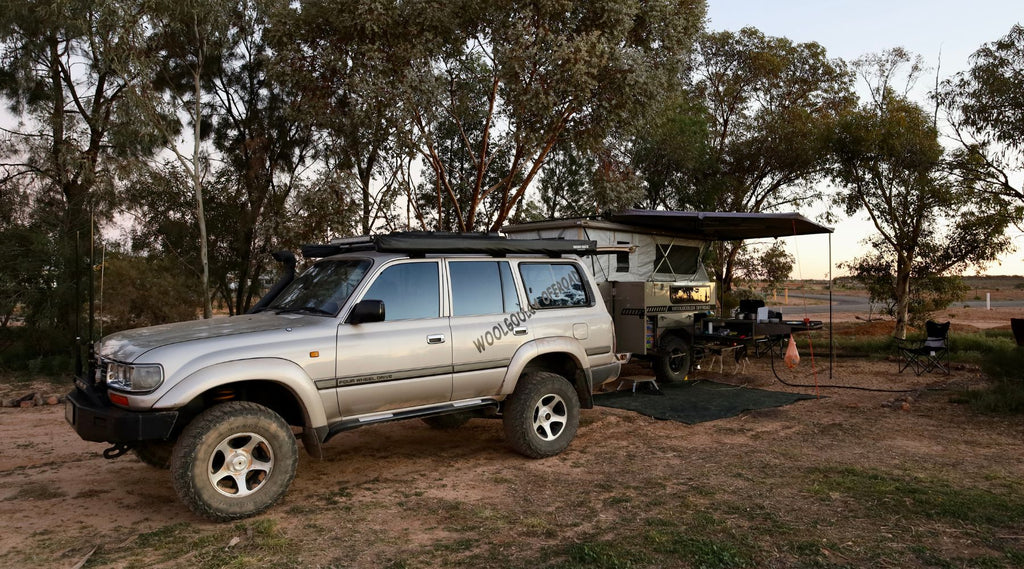
Words and pics by Kev Smith - Woolgoolga Offroad - North Storm® Ambassador
A definition of ‘iconic’ in English can be explained as being very famous or popular, especially with certain opinions or at a particular time.
Now there are plenty of ‘iconic’ drives in our outback following explorer routes, but I reckon the Darling River explore should be up there in the ‘iconic’ class.
The Darling River which happens to be the third longest river in Australia is well known for various reasons.
From its poor health and management in recent times back to hundreds of years when the Barkindji people lived along its systems.
Our early explorers followed the river and used it as a base when seeking out new pastoral land.
In later times the river was used as a transport system.
Without water, expeditions couldn’t move forward or survive, so by following and using the Darling they could expand into areas that hadn’t been mapped out.

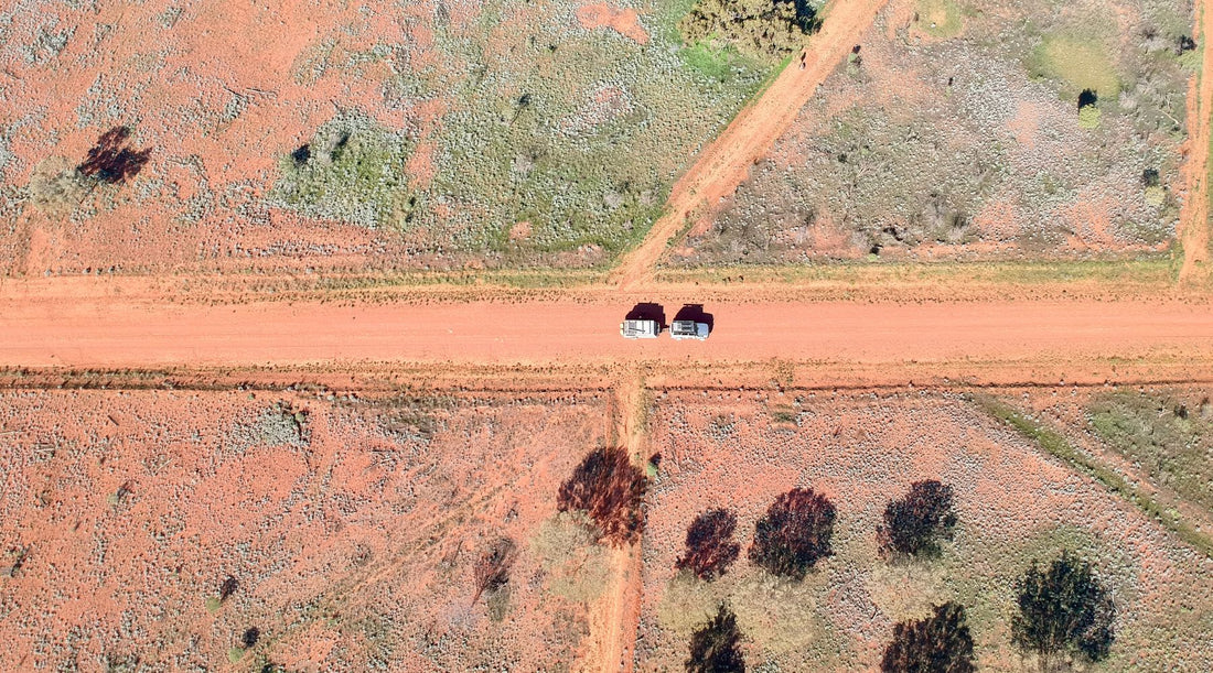
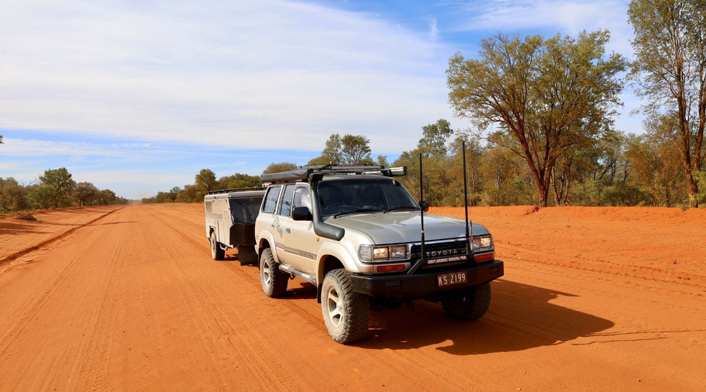
Now I’ve done this drive a few times and it never seems to disappoint. This time the starting point was in the beautiful town of Bourke.
Charles Sturt passed through the area just before 1830 when he was looking for the inland sea and quoted in his log that the area would be unlikely to become the haunt of civilised man.
But he was wrong, very wrong, as the next few years the area grew and grew and the river was used intensively for trade.
In 1880 Bourke was the transport centre for SW Queensland and Western NSW with bulk wool being transported down the river each year.
These days Bourke is still a hub for travellers to top up with food and fuel before hitting the dirt, but also to explore the history around town.
There’s plenty to see and do including the Darling River wharf system, the centre lift bridge, outer stations, and the majestic buildings with heritage listings in the main part of town.
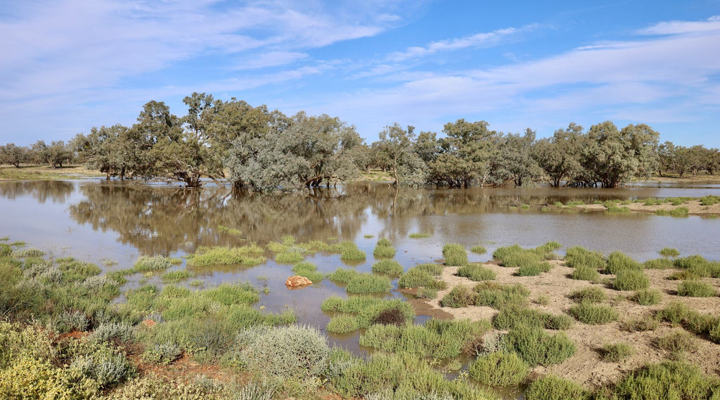
When we visited the river was flooded and rising so the chance of riding the paddle steamer wasn’t available.
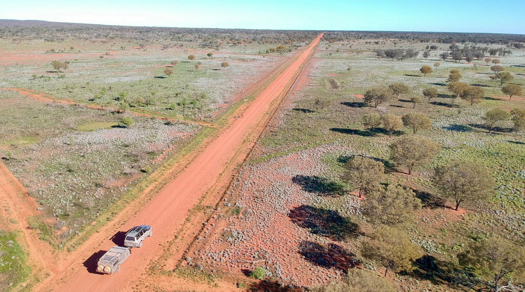
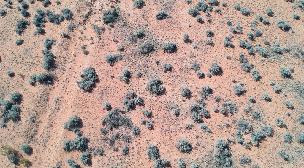
Heading south from Bourke along the Darling River Road we crossed through the stunning Gundabooka NP.
With plenty of options to explore remote campsites, hike out to Mt Gundabooka or even camp beside the river at nearby Yanda campgrounds with beautiful River Gums lining the Darling.
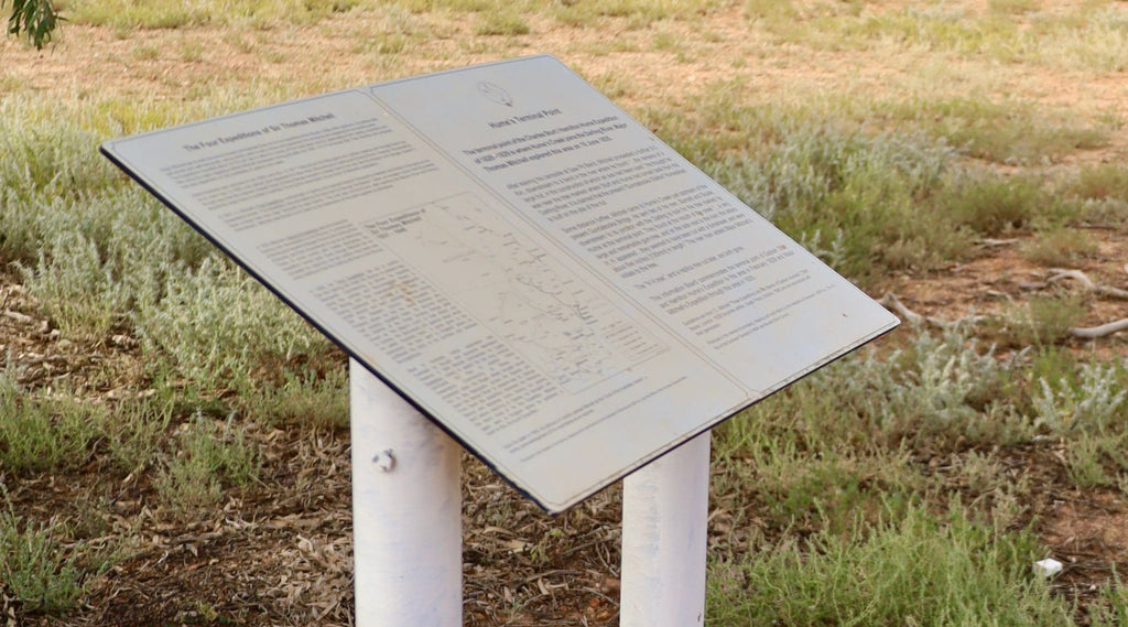
Sign posted about 10km out of Gundabooka, right beside the road, is an important marker where in 1829 explorer Charles Sturt and Hamilton Hume discovered the Darling.
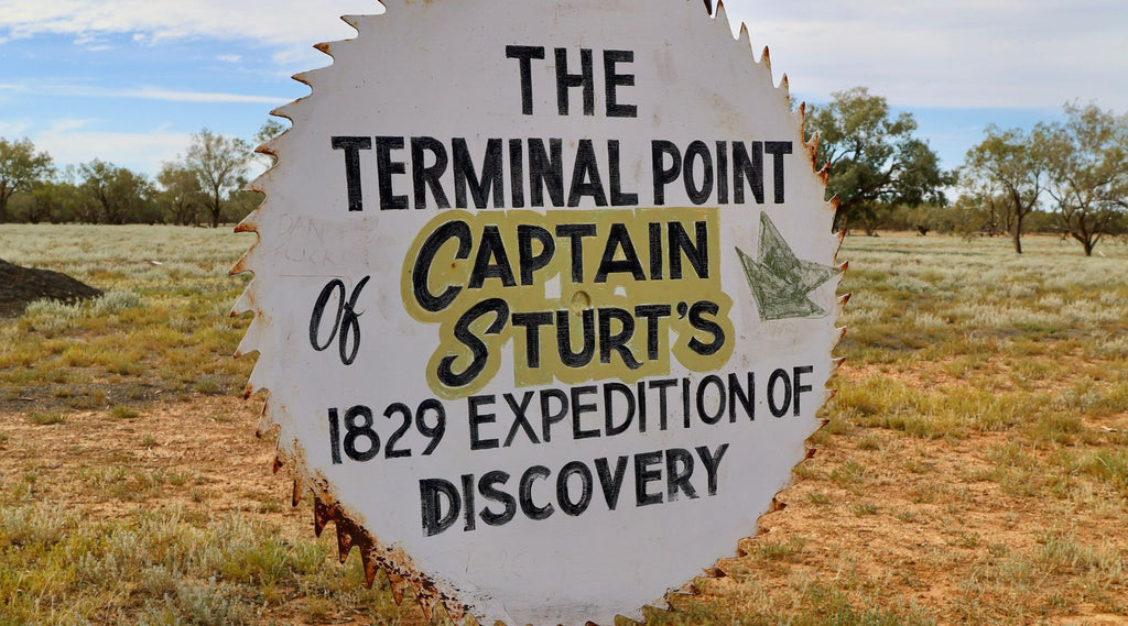
The info board has some very interesting references to what happened here.
Our first stop was to check out Louth, about 100km downstream from Bourke.
It’s here that Henry Lawson wrote poems about drinking and partying.
Which seemed fitting, due to the fact that at the time the only service here was the pub that was a stopover for Cobb & Co coaches plus the river trade back in the late 1880’s.
Today it’s still a great place for a stopover with Shindy’s Inn right on the riverbank and when the races come to town there’s plenty of partying.
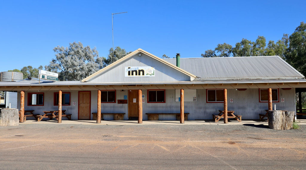
Inside Shindy’s, the walls are packed with interesting items from decades gone by, pictures of massive floods and a few quirky tools.
There’s plenty of camping here or at nearby stations but with the slow flood that the Darling was creating we decided to head further along.
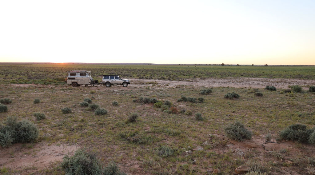
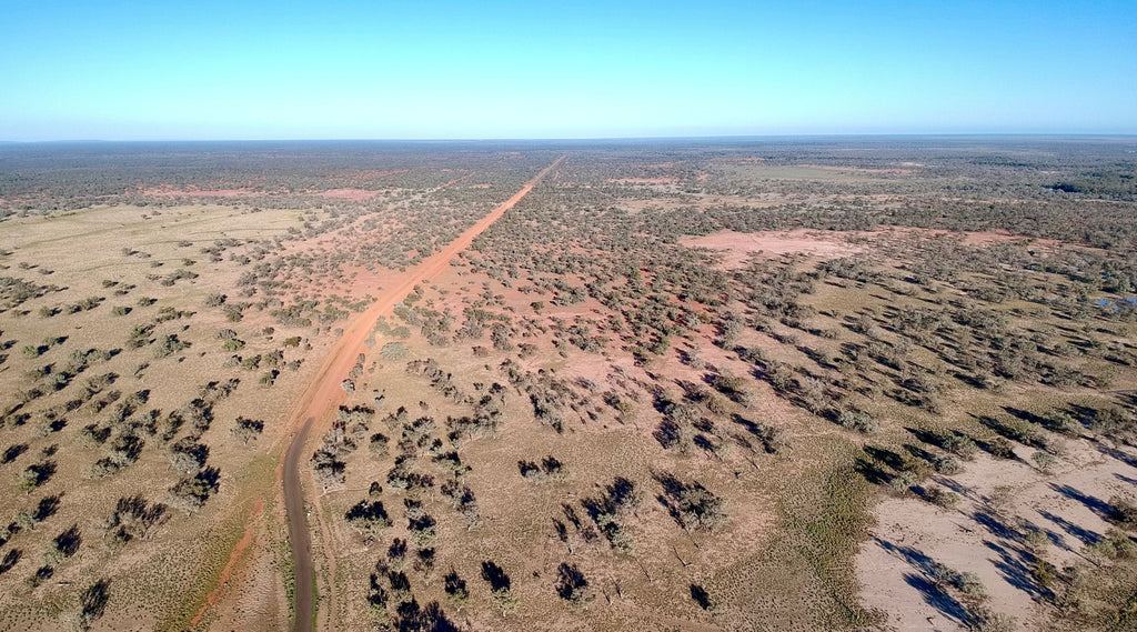
For most parts of the year the roads along the river are in pretty good nick, but when it does rain, they get closed sooner than later because these aren’t just any outback roads, these are local roads to stations and services.
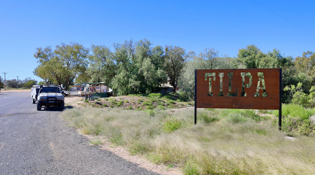
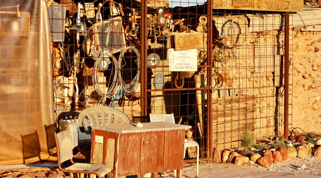
Tilpa, located on the western side of the river is a must do for anyone in the area.
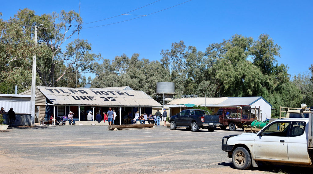
The Tilpa Pub is one of those iconic spots where the beer is always cold and the meals are huge!
For a small donation that goes to the Royal Flying Doctor Service you can write your name on the inside walls, that’s if you can find a spot!
Established in 1894, as another service stop for the shallow draught paddle steamers, Tilpa is now home of the shortest heritage walk in Australia.
Luckily, it’s just across the road from the pub so you won’t get to thirsty.
The plan was to originally head all the way down the Darling and follow the flow from recent rains in far north NSW.
However we decided to head across through the Paroo Darling floodplain to White Cliffs before it shut with the flood water moving south.
It's always a good run west across the plains and generally only takes a couple of hours.
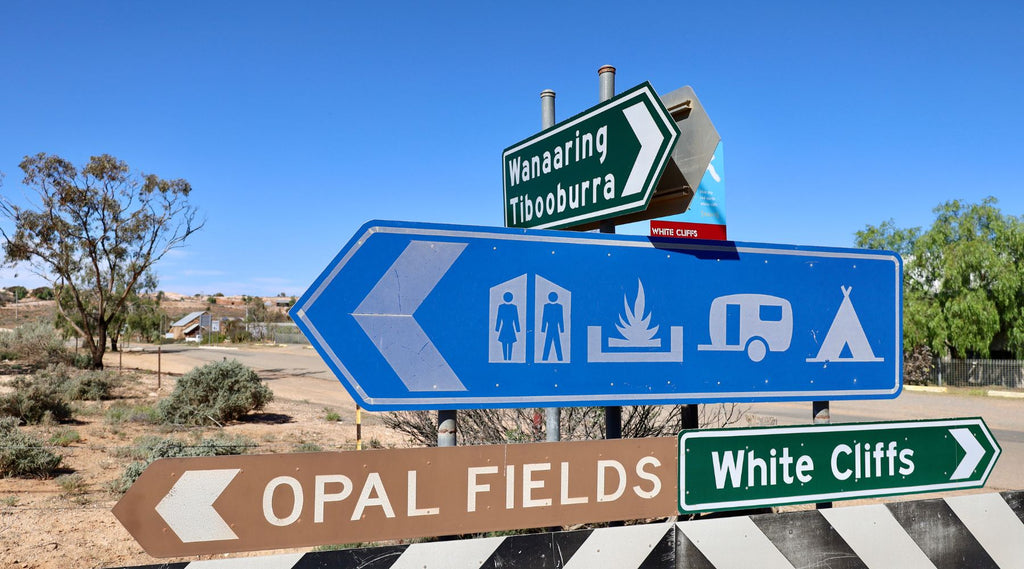
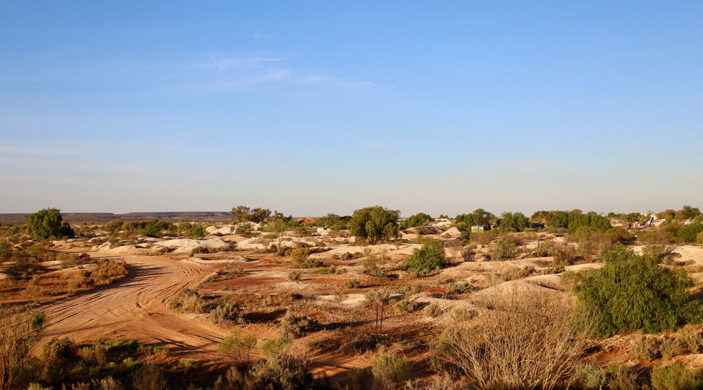
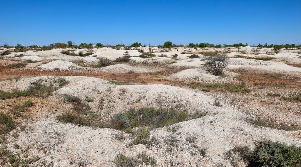
White Cliffs has been a significant opal mining settlement since the late 1880’s.

Today White Cliffs thrives on tourists coming to explore the area hoping to find a fortune in opal bearing rocks that date back 100 million years ago when this area was covered by the ocean.
Often this doesn’t happen, but it’s still a pretty cool place to visit.
The town is surrounded by a pockmarked landscape with over 50,000 disused mines.
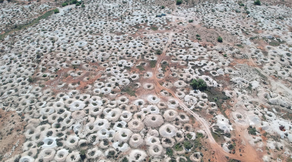
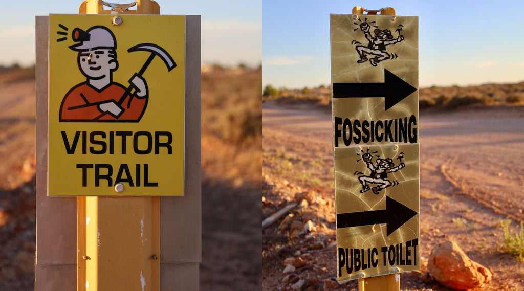
There’s a heritage trail around the mines and town where you can discover the old buildings, crazy and unique shanty mine dumps.
It even highlights areas where you can fossick for free.
Mind you it gets bloody hot here in summer and that’s why the locals live underground where the daily temps are pretty stable.
Local Aboriginals never settled here for that reason (plus there’s no permanent water), but they did pass through heading towards the Darling River.
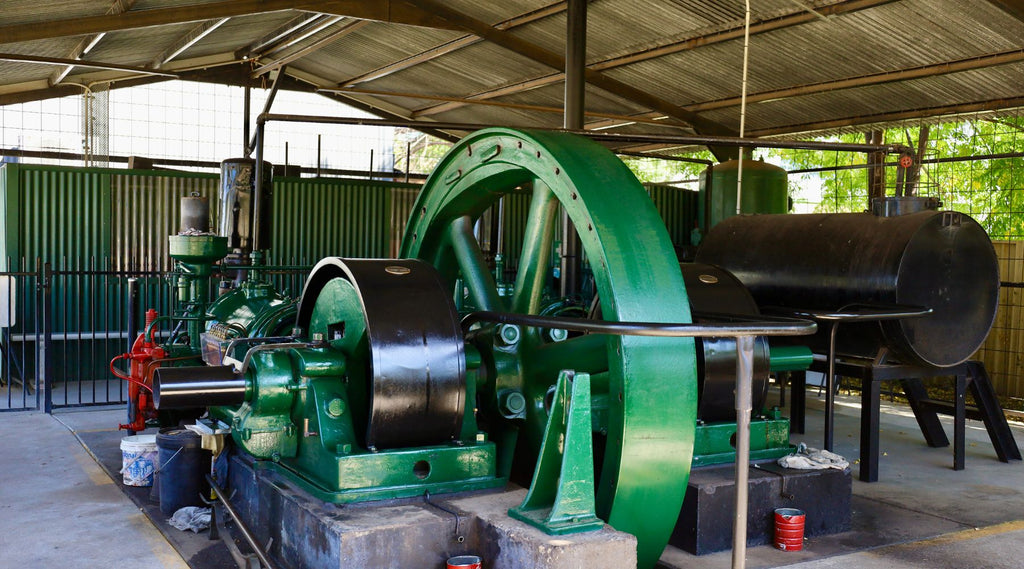
White Cliffs built its own power station in 1981 but they generate power from the sun with 14 dishes measuring 5 metres in diameter.
With the suns heat boiling water creating steam it powered an engine and generator for the towns power.
Over the years it was closed down but later in 2006 it was recognised as the world’s first solar power station and is now heritage listed.
After a few days checking out White Cliffs we headed back across towards the Darling River but this time at Wilcannia.
Once a major port along the Darling River, today the town has heritage listed buildings along the banks and through the town centre.
When the paddle steamers came up from South Australia, Wilcannia was deemed extremely important.
It soon became the third largest port on the river and soon became known as the Queen City of the west.
The town lists some amazing facts like in 1887 over 220 paddle steamers passed by a brewery was built to service the passing trade, a customs office was built to gather taxes on passing trade and it once had 13 pubs.
Wilcannia has a heritage trail where 18 sites can be visited including heritage listed sandstone buildings dating back to 1880.
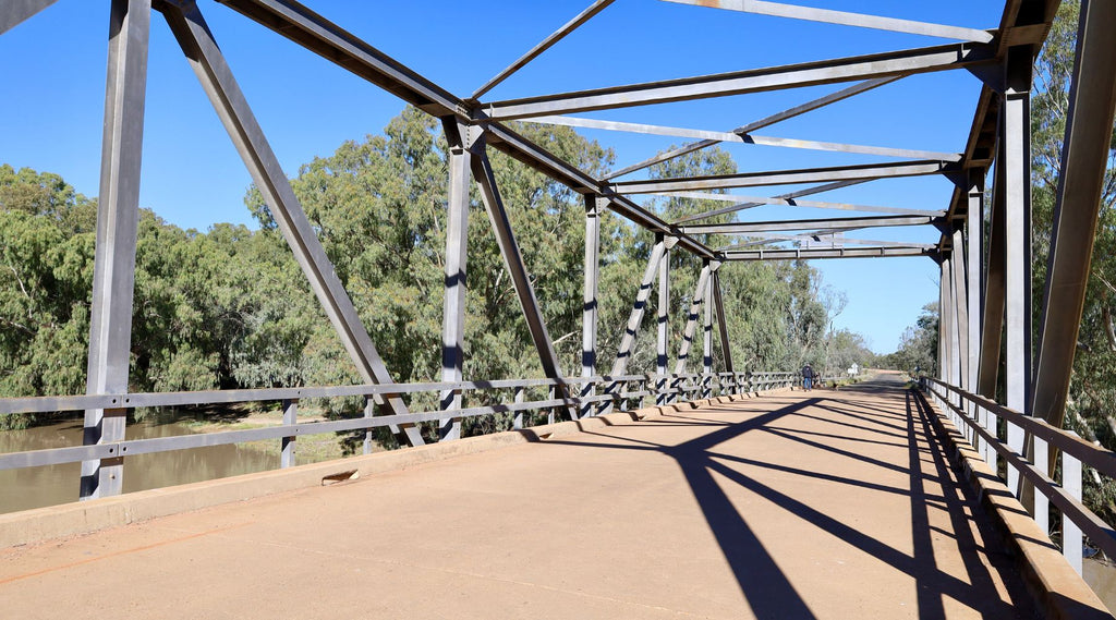
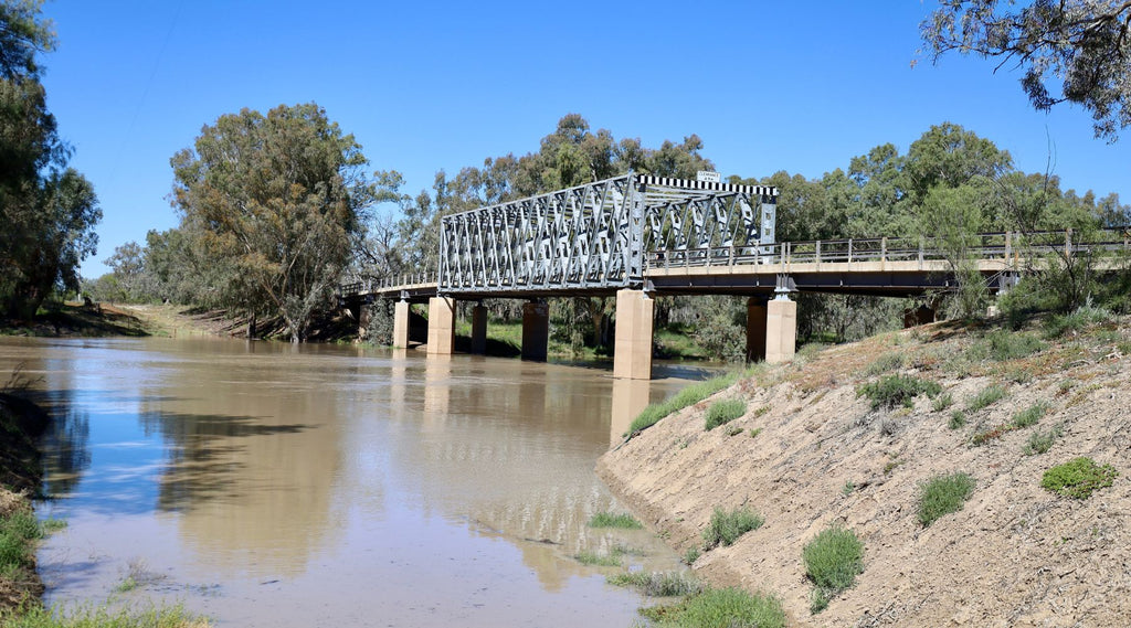
Included in the trail is the Wilcannia bridge built in 1896.
Now closed off to traffic, but restored and open to walkers, it’s one of only two remaining on the river (other is on the Barwon River at Brewarinna).
These centre lift bridges opened in the centre to allow paddle steamers to continue up and down the river.
These bridges were a technically sophisticated structure when built back in 1889.
They required two men to wind a pulley mechanism to lift the spans – but this was later modified in 1913 so that only one person was required to operate it.
Today they are recognised as being of NSW State significance and heritage listed.
As they contributed significantly to the social and commercial development of northwestern New South Wales and opened up the ‘back country’ in the late 1800’s.

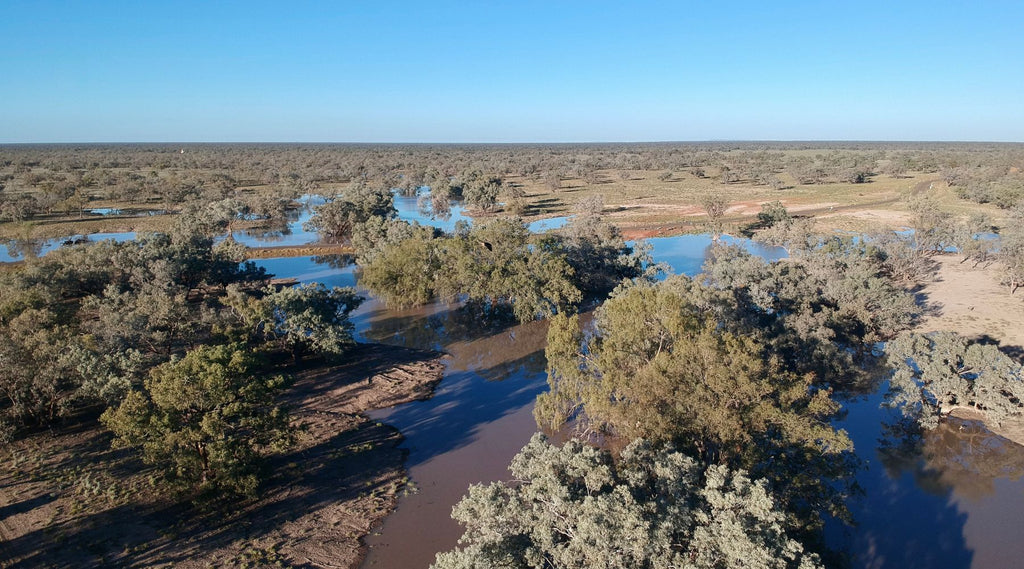
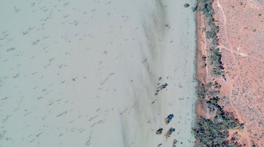
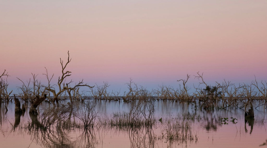
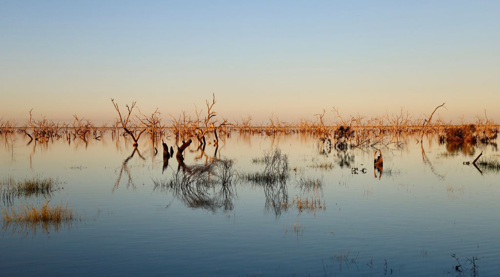
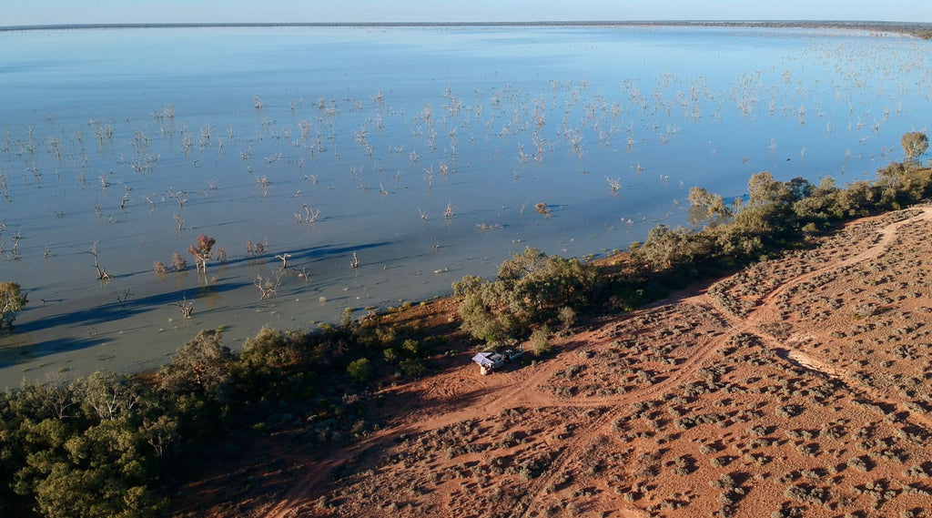
The final stint of our trip was to continue along the Darling southwards towards the Menindee Lakes 150km away.
With the high rainfall that happened in the north months ago water was flowing freely into the four lakes after being dry for nearly many years.
Covering a staggering 475 square km and estimated to be three times the size of Sydney Harbour.
There are about 17 billion litres a day flowing into the lakes swelling them towards capacity.
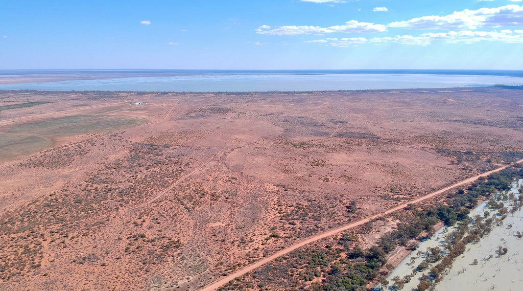
Life is now returning to the lakes with birds, fish, frogs, and blue yabbies.
We were staggered to see the amount of water in the lakes covering land for as far as we could see.
In the past years there’s been controversy and blame for the mismanagement of this river and lake system, let’s hope lessons are learnt.
The lakes were built in the 1950’s - 1960’s to capture and retain flood waters and to regulate water supply to Broken Hill, nearby mines, stock, and irrigation use.
Before the early explorers made this area their first port of call when traveling up from Adelaide, it served as a guaranteed water source.
A place they could refill and rest for a few days before venturing into the extreme country to the north.
The first recorded Europeans that used this area as a lifeline was back in 1835 with expeditions that included Sturt, Mitchell, and the infamous Bourke & Wills trip.
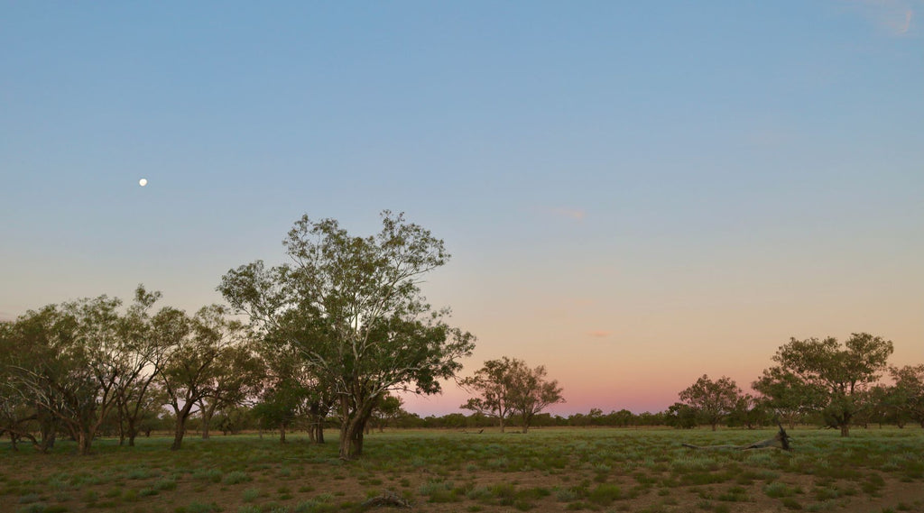
The whole area has a fascinating and inner beauty about it.
Whether you're into the history, the outback way of life of just want to tick off another iconic drive, the Darling River will never disappoint.
 You can find more about Kev Smith's travels here - Woolgoolga Offroad